Our software
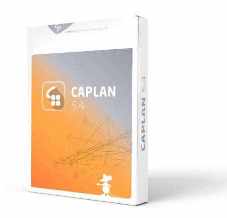
CAPLAN
The Cremer's Survey Processing and Plan Design applications caters for all tasks encountered in surveying and civil engineering, for example if you need to
- carry out surveys using total stations and/or GNSS technology,
- create inventory and quantity plans,
- construct digital terrain models (DTMs),
- create an excavated pit and determine its volume,
- verify road construction volumes using cross-sections,
- set out a road surface,
- carry out special engineering tasks,
- process tacheometric (total station) observations and leveling observations,
- determine the breakthrough accuracy when tunneling,
- adjust networks with the highest level of precision
The program also offers interfaces to all common data transfer formats.
Read about the features included in the latest update as well as most recent developments and enhancements.
CREDIT + CC
Cremer's Editor was developed specifically to allow the rapid adaptation of data formats to comply with specific interfaces.
CC (Cremer Commander) is a file management (Explorer) application with two distinct windows, offering several special tasks.
Read about the most recent developments and enhancements made in CREDIT and CC
Why us?
Read about what makes us and our products unique!
Our users really value our products and our services.
News
- April 15, 2024 - New videos on YouTube
Our YouTube channel offers various new videos describing the themes from "News from CAPLAN 2024". All these ... - July, 28 2023 - Intergeo
Intergeo 2023 in Berlin from Oct. 10th to Oct. 12th We will be pleased to welcome ... - May, 30 2023 - CAPLAN-Update distributed
The CAPLAN update to version 5.7 has been distributed. If you, as a customer with a valid maintenance ...
